The villas, the parks, and the hamlets of Povo, are the protagonists of this walk that climbs the left side of the Fersina, starting from the heart of the city, to reach a built and cultivated landscape of notable historical and environmental interest.
The route highlights various types of environments. After passing the urban zone with the beautiful tree-lined Via Grazioli, one encounters the gorge landscape, carved by the Fersina stream in the deep limestone substrata and perfectly visitable a little further upstream at the Orrido di Ponte Alto. Here the presence of water favors a strongly natural habitat, characterized by hygrophilous species such as alders, poplars, and white willows.
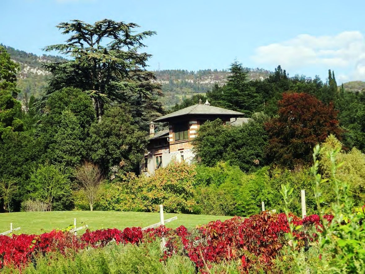
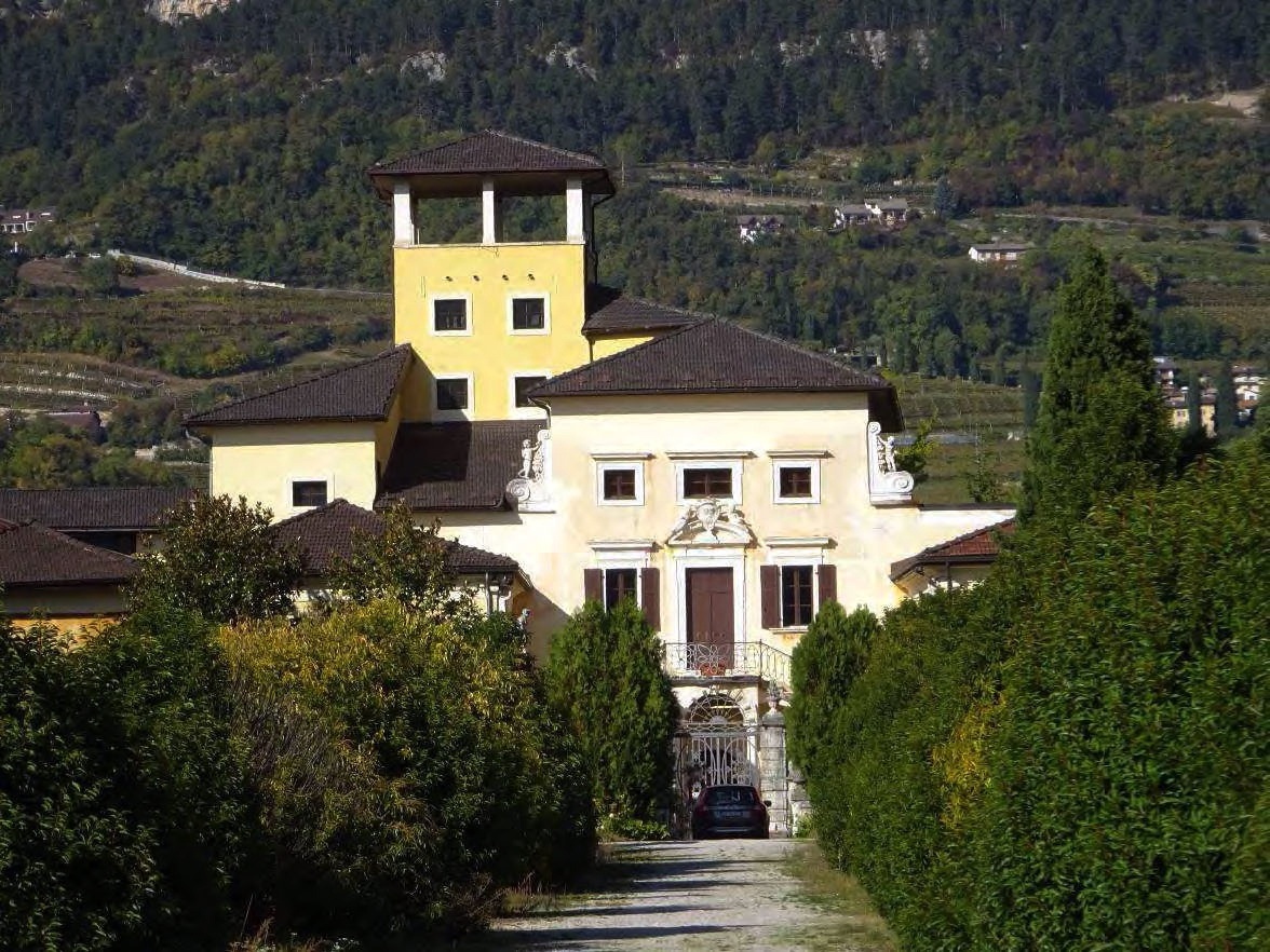
After crossing the Cornicchio bridge, rebuilt at the end of the 18th century, one climbs the first ledge, following the characteristic Salita Manci, to reach the plateau between Mesiano and Panté, where the vineyard landscape constantly accompanies the route. Here historical aspects become relevant with the presence of numerous monuments and the "villa landscape" typical of this hilly area. In this area you can indeed find Villa Penner, Villa Gherta, Villa Garbari, Villa Saracini.
The ascent via Valoni street, narrow between high stone walls and surrounded by wide orchards and vineyards, partly recreates the impression of strong rurality that was experienced until the mid-20th century, when urban expansion had not yet transformed these areas.
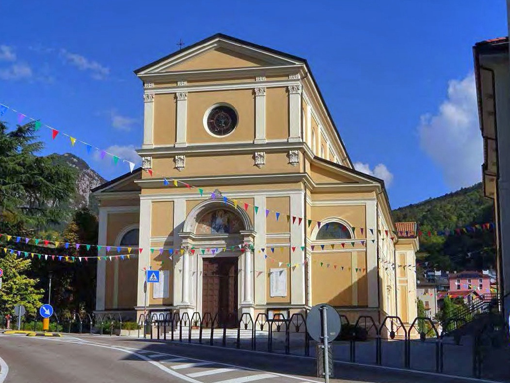
Upon reaching Lower Panté, one crosses the square, which was the political and religious heart of the Povo hill, a suburb divided into Lower Villa and Upper Villa. Gathered around the square were the town hall, the fountain, the community mulberry tree, under which the regular assemblies met, and a little further to the southeast, the entire complex of the Pieve.
Continuing eastward, one climbs along the ancient connecting route between Panté, Spré and Oltrecastello; alongside flows the Salè stream, which represents one of the main waterways that collect the waters of the entire moraine terrace of Povo-Villazzano. There are also numerous patrician villas here, testifying to the social and representative value attributed to the hill of Trento starting from the 15th century. At that time, noble and urban bourgeois families settled here establishing their summer residences. In later centuries, the villas were equipped with parks, more or less large, but rich in exotic species and monumental trees (Villa ex-Thun, Villa Cavagna, Villa Ceschi), whose vestiges are still well recognizable.
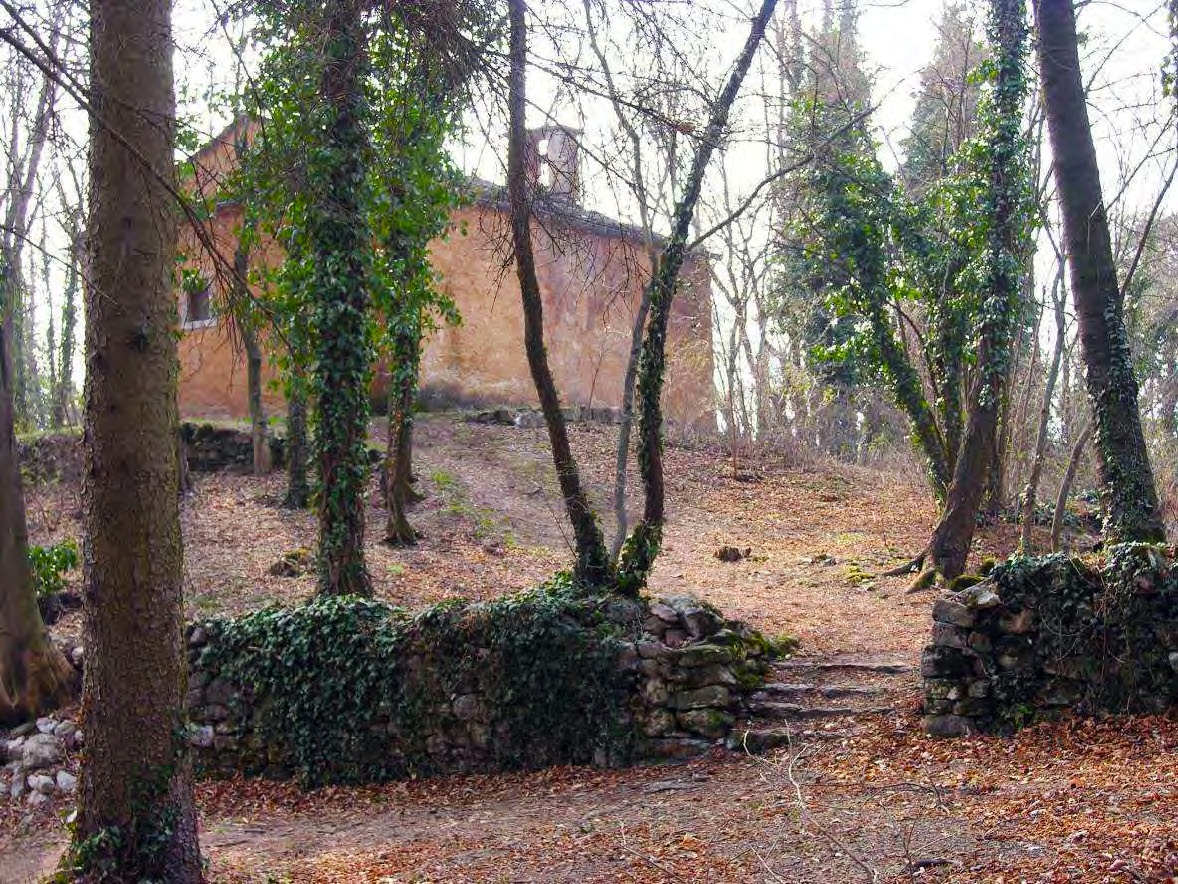
Before reaching the square of Oltrecastello, it is possible to make a short detour to Doss S. Agata (575 m), one of the three hills from which Trento takes its name. The relief, morphologically suited as a "castelliere", was frequented since prehistoric times, while in the medieval period (13th century) it was the seat of a community castle. The 16th-century church of S.Agata, which stands on the summit, continues this tradition.
The side of the relief facing east, rather steep, is covered by a dense forest of thermophilic broad-leaved trees, while the southern slope is occupied by a dense network of terraces, now largely abandoned. These are the "frate", that is, collectively owned lands that were leased to community members.
Route that can be taken at any time; due to exposure, afternoon is preferable during the cold months and morning in the spring and summer periods.
The information contained in this sheet is subject to inevitable changes; therefore, no indication has absolute value. It is not possible to completely avoid inaccuracies or errors, considering the rapidity of environmental or weather changes that may occur. In this sense, we disclaim any responsibility for any changes experienced by the user. However, it is recommended to verify the state of the places and environmental or weather conditions before undertaking a hike.
Rete di Riserve Bondone is not responsible for the management and maintenance of the trails on which this route unfolds. We therefore disclaim any responsibility for damages suffered by persons or property.
Prepare your itinerary
Choose a route suitable for your preparation
Choose suitable equipment and gear
Consult weather reports
Starting alone is riskier
Leave information about your itinerary and approximate return time
Do not hesitate to rely on a professional
Pay attention to directions and signage you find along the route
Do not hesitate to retrace your steps
In case of accident, raise the alarm by calling number 112


