From Melta di Gardolo to Martignano. A route that connects Trento of the 1980s with the ancient suburb of Martignano, passing through a settlement over 10,000 years old.
The route connects the plain of northern Trento, the result of the most recent urban expansion (dating back to the last two decades of the last century), with the historic hillside suburb of Martignano, characterized by wide vineyards of ancient origin.
However, the true historical surprise of the route is the presence, halfway up the climb, of Riparo Gaban. This is an important archaeological site that confirms that these places have been frequented by humans for over 10,000 years. In fact, the rich stratigraphy allows for a continuous presence from the early Mesolithic to the Bronze Age, evidenced by beautiful artifacts and votive objects.
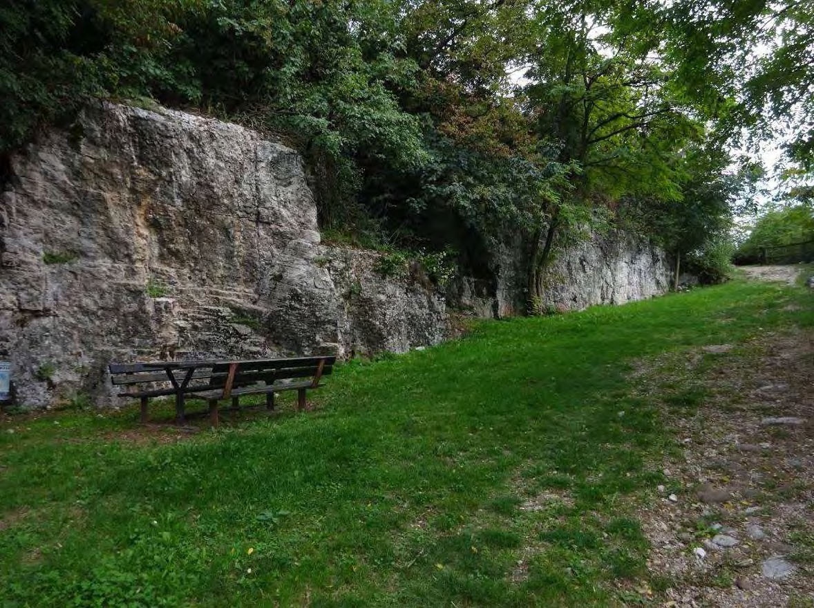
Along the initial part of the route, it is possible to also appreciate other interesting aspects of the Trentino landscape. In the beginning section bordering the Solteri district, from above you can see one of the last red stone quarries of Trento still active. This is one of the last artisan workshops for stone working that was used to build much of the historic and nineteenth-century city.
Immediately after, returning towards the plain, you pass by the Melta Park, a large urban park with contemporary design, meeting modern needs for recreational spaces and urban greenery.
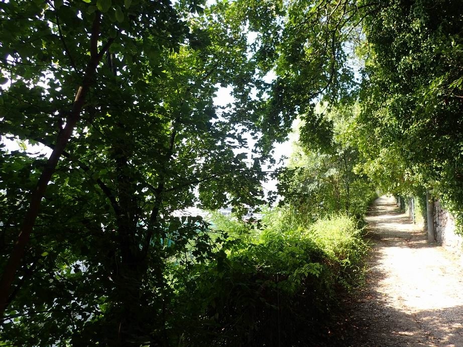
Climbing up towards the hill, leaving behind the last houses of Melta, you finally enter the landscape of terraced vineyards that characterize the slope between Centochiavi and Martignano. The exposure and soil have favored extensive grape cultivation, which, where the terrain becomes steeper, is arranged on sizable terraced steps.
The road winds through the countryside and allows you to observe the spontaneous and native flora accompanying the crops: walls of ivy and clematis, maples, hop-hornbeams, hazels, and other typical species of lean and sunny slopes.
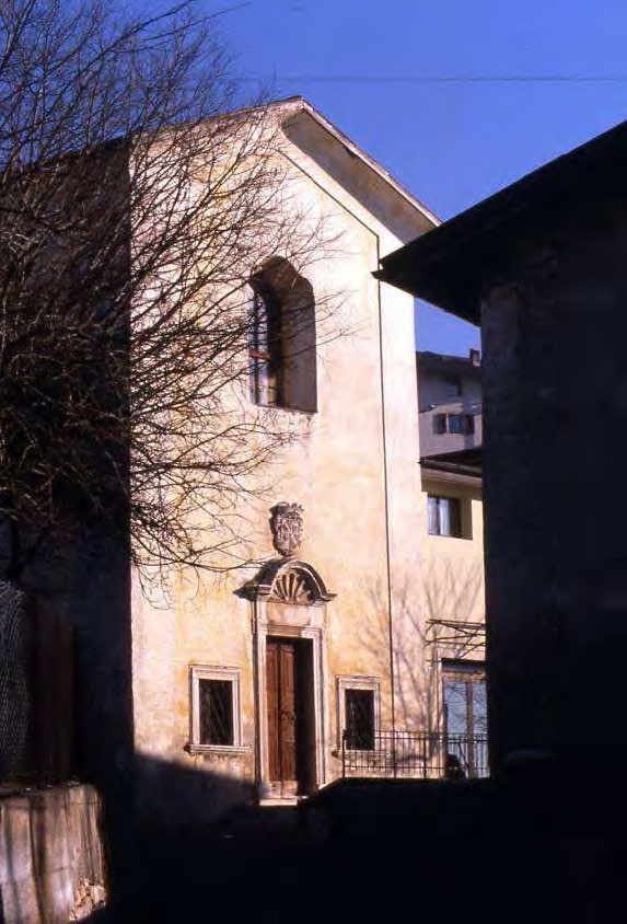
The route is punctuated by some historic presences (the Chapel of Casa Angeli, the Church of S. Isidoro) that show how during the sixteenth and seventeenth centuries the hill was a place of expansion and representation for the rural nobility and wealthy city bourgeoisie.
Finally, you arrive at Martignano square, called Canopi (meaning the ancient miners who exploited the metalliferous veins of Argentario and Calisio), and the route ends in the beautiful garden surrounding the suburb's Multipurpose Center.
A route that can always be done; due to exposure it is preferable in the afternoon during the cold months and in the morning during the spring and summer periods.


